Page 2/2 - Posted August 15, 2014
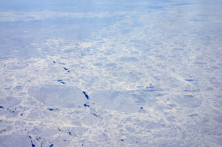
Sea ice in 2013 reaches new record extentSea ice extent around Antarctica was out also of the norm in 2013, with 116 new daily record high extents, especially during August to November. A new daily maximum sea ice area of 19.57 million square kilometers was reached Oct. 1, 2013. Only in two other years – 1988 and 2011 – in the 35 years of satellite records has the daily annual maximum been set in October. So far, in 2014, NSIDC reported in mid-July that sea ice extent around Antarctica again appears to be on a record pace. On July 1, Antarctic sea ice extent was at 16.16 million square kilometers, or 1.37 million square kilometers above the 1981 to 2010 average. More tellingly, sea ice extent on July 1 of this year was 760,000 square kilometers higher than the 2013 extent for the same day, suggesting another record year may be in the making. Increasing sea ice extent around Antarctica and global warming may at first seem to be paradoxical. NSIDC reported in its latest sea ice report on July 17 
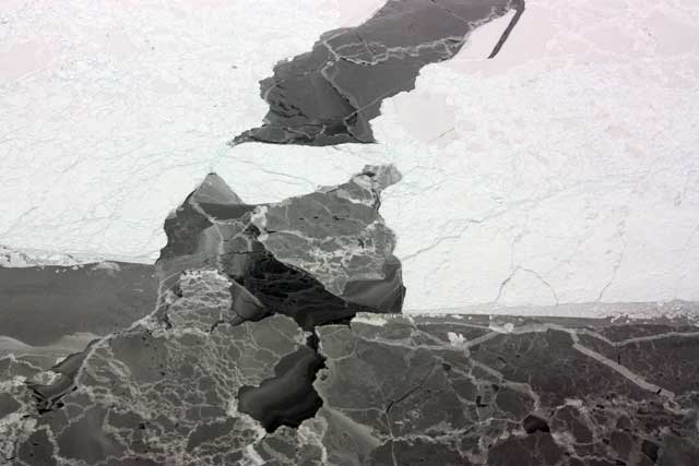
Photo Credit: George Hale, NASA IceBridge/Antarctic Photo Library
An aerial view of sea ice in the Bellingshausen Sea.
One hypothesis blames changes in local wind patterns, resulting from increased westerly winds around the continent, which have changed both how much ice is formed and how it is moved around after formation. A second idea also invokes changing wind patterns but suggests that meltwater from underneath large ice shelves around Antarctica is largely driving the expansion of sea ice. More recently, in research partly supported by the NSF and published in the journal The Cryosphere The July report from NSIDC also notes that Antarctica’s sea ice extent has also been highly variable. For example, austral summer minimum ice extents have varied by as much as 25 percent between 1979 and 2014 during modern satellite records. The discovery last year of older satellite images from the Nimbus “It … appears that Antarctica’s sea ice variability may be greater than the 35-year modern satellite record would indicate, and that the current growth trend, while important, is not yet reaching unprecedented levels seen within the past century,” NSIDC reported. |


For USAP Participants |
For The Public |
For Researchers and EducatorsContact UsNational Science FoundationOffice of Polar Programs Geosciences Directorate 2415 Eisenhower Avenue, Suite W7100 Alexandria, VA 22314 Sign up for the NSF Office of Polar Programs newsletter and events. Feedback Form |


