|
Full tiltTAMDEF makes surprising find in rebound between East, West AntarcticaPosted June 13, 2008
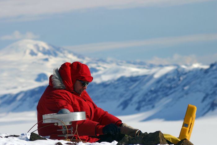
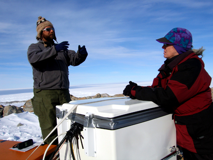
It’s a cloudless spring day in Columbus, Ohio. Young, fit students jog along the broad sidewalks outlining the borders of The Ohio State University. In a windowless office at the university’s Scott Hall, home to the Byrd Polar Research Center, Mike Willis bangs away on his computer keyboard, apparently oblivious to the beautiful weather outside. The postdoctoral scientist is intent on completing a paper related to research in Antarctica, where he has devoted much of his young career. A native of Scotland, Willis is no wallflower. He has definite opinions on science and policy, capitalism and research. He could probably make more money — a lot more money — helping some company extract resources from the Earth. Instead, he works on projects like TAMDEF, for TransAntarctic Mountain DEFormation “I’m more interested in things that make a difference,” he said. “I don’t want to be the policy maker myself. I want to give an honest politician … the information to make a right, proper, informed decision.” TAMDEF is one such project. It’s part paleoglaciology in that Willis and his colleagues, who include Principal Investigator Terry Wilson, are attempting to reconstruct the size of Antarctica’s past ice sheets based on what scientists call post-glacial rebound. The weight of all that ice causes the bedrock to bend. As ice disappears, such as through glacial runoff, the earth literally rebounds — about 4 millimeters per year, based on TAMDEF calculations. And there was a lot more ice in Antarctica during a time about 20,000 years ago called the last glacial maximum, when the world’s glaciers crept across the more temperate areas of today. In Antarctica, ice sheets didn’t begin to recede until much later, probably less than 10,000 years ago. From 1996 to 2006, TAMDEF scientists installed high-quality geodetic rock pins into exposed bedrock across 250,000 square kilometers of the Transantarctic Mountains and on several islands to the east, near McMurdo Sound and the Ross Sea. The pins mark the spots where GPS antennae were placed to record the vertical rebound as well as horizontal rifting. At its peak, the network included about 35 sites. Some of those are now part of a related, international project called POLENET Just how big were Antarctica’s two ice sheets? In West Antarctica, including the McMurdo Sound area, the ice surface was about 700 meters higher than at present. Far more static, East Antarctica has lost less than 100 meters over the last 10 millennia. But that’s far from the whole story. There are some interesting conclusions arising from the research, some of which Willis is keeping mum until he publishes his paper. He will say that the rebound in southern Victoria Land, near McMurdo Station, is the exact opposite of what standard models say it should be. TAMDEF data show the eastern edge of East Antarctica is rebounding faster than the western edge of West Antarctica. That’s surprising because the mantle material below West Antarctica is warm and “gooey,” meaning it should be moving faster than East Antarctica, where the mantle material is more viscous. “The ice history models cannot replicate the rebound … that we are measuring,” Wilson noted during an interview in her OSU office. The tilt could mean several things, according to Willis. Perhaps one of the more intriguing hypotheses: East Antarctica has lost ice more recently. In addition to the rebound rate, the scientist can measure much shorter-term changes in vertical crustal motion, what Wilson refers to as the elastic response. Elastic changes can occur on an annual basis, and scientists have measured such fluctuations in the Amazon Basin when the river floods, causing the earth to bend under the water weight and then rebound when it drains each year. “To get fairly strong tilt, that in itself is big news,” Willis said, adding that he and colleagues are developing models that will properly account for the rebound effect measured by the GPS. Those models are particularly important to satellite-based studies of ice sheets that currently use the standard historical corrections when measuring ice mass changes. “Those corrections could be way off,” Willis said. “That could mean that ice loss in Antarctica is either way more than we’re predicting right now, or it could be a lot less that what we’re predicting. My results tend to suggest that there’s more mass loss going on in Antarctica than we think at present — by up to about 50 percent in West Antarctica.” That’s a lot of ice. In fact, scientists are now saying that West Antarctica may be discharging as much ice as Greenland. Though upbeat and enthusiastic, Willis doesn’t mince words when talking about the worst-case scenario when describing ice sheet dynamics. “You can get [parts of the eastern seaboard] under water pretty easily with Greenland or West Antarctica. They just have to hiccup, and you have hundreds of billions of dollars of damage.” NSF-funded research in this story: Terry Wilson, The Ohio State University. Return to main story: Moving experience |


For USAP Participants |
For The Public |
For Researchers and EducatorsContact UsU.S. National Science FoundationOffice of Polar Programs Geosciences Directorate 2415 Eisenhower Avenue, Suite W7100 Alexandria, VA 22314 Sign up for the NSF Office of Polar Programs newsletter and events. Feedback Form |


