Roosevelt IslandU.S., Kiwi scientists team up to look at stability of ice shelfPosted September 3, 2010
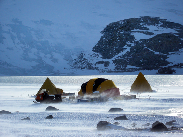
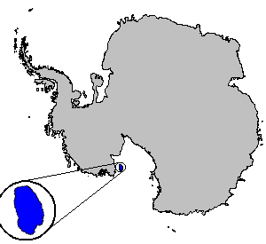
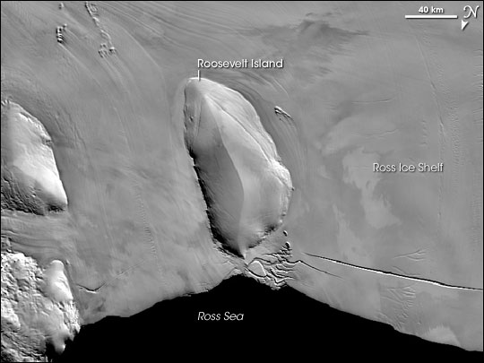
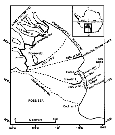
It’s been about a dozen years since Howard Conway Their measurements of ice thickness, stratigraphy, accumulation rate and other parameters allowed them to estimate the age of the ice and the thinning history of the island. That information, when combined with other data from the Ross Sea Embayment, created a rough timeline for the deglaciation of the West Antarctic Ice Sheet (WAIS). Their work, published in the journal Science in 1999, suggested the grounding line where the ice sheet meets the sea floor retreated rather rapidly since the Last Glacial Maximum about 20,000 years ago when ice sheets draped both hemispheres. In addition, results of the study implied that the retreat of the WAIS was part of a natural event triggered well before anthropogenic warming got involved in the climate picture over the last couple of centuries. The paper concluded that if the present rate of natural deglaciation continues, the WAIS would disintegrate in about 7,000 years, which would raise sea level by 5 to 6 meters. In 2010, Conway will return to Roosevelt Island with an international team of scientists to refine those measurements of past melting to understand how the region may respond to future warming. “We need a model to look at the future, so we need ground-truth data to make sure our models are right,” explained Conway, a soft-spoken glaciologist and research professor at the University of Washington Conway’s three-member team will be based at a field camp set up by Antarctica New Zealand The ice contains properties that scientists can analyze to recreate past climatic and atmospheric conditions. In the case of Roosevelt Island, researchers expect to retrieve an annual history for the last 30,000 years, from the end of the last glacial period through the abrupt warming of the Holocene. We want to “evaluate the stability of the Ross Ice Shelf in a warming world, and with that, help constrain future Antarctic contribution to sea-level rise,” said Nancy Bertler “This information is particularly important for the next IPCC report,” she added, referring to the Intergovernmental Panel on Climate Change The fourth IPCC assessment in 2007 concluded that most of the observed increases in globally averaged temperatures since the mid-20th century were “very likely” due to anthropogenic, or human-induced, increases in greenhouse gas concentrations. The reported estimate sea levels would probably rise by 18 to 59 centimeters. However, that calculation didn’t factor in the accelerated loss from polar regions. Both Greenland and West Antarctica are losing mass to the ocean much more rapidly than expected, Bertler said. The Antarctic Peninsula, in particular, is one of the fastest-warming regions on the planet, with several ice shelves having collapsed in the last several decades. The disappearance of an ice shelf allows the glaciers and ice streams that flow into them to move more rapidly, speeding the draining of the ice sheet. “As we see these smaller ice shelves disappear, we are concerned at what temperature threshold and over what time period the world’s largest ice shelf, the Ross Ice Shelf, could disintegrate and allow West Antarctic ice to accelerate into the ocean, exacerbating global sea level rise,” Bertler said. Hence the need for the international Roosevelt Island Climate Evolution (RICE) project, which also includes Danish, British, German, Italian and Australian collaborators.1 2 Next |


For USAP Participants |
For The Public |
For Researchers and EducatorsContact UsU.S. National Science FoundationOffice of Polar Programs Geosciences Directorate 2415 Eisenhower Avenue, Suite W7100 Alexandria, VA 22314 Sign up for the NSF Office of Polar Programs newsletter and events. Feedback Form |


