Page 2/2 - Posted July 13, 2012
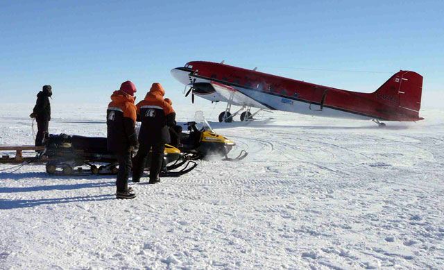
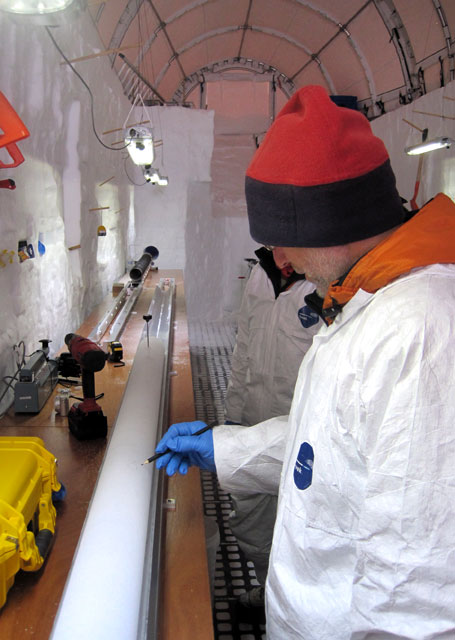
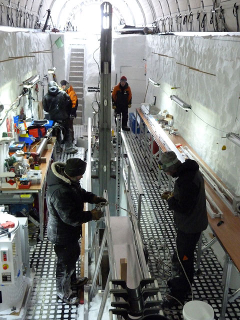
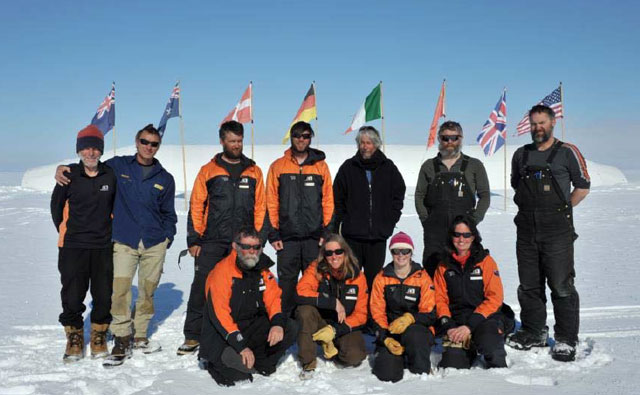
Roosevelt Island may provide clues to abrupt climate change eventsThey’ll employ newly developed laser-based technology that will allow University of Maine scientists to sample the ice core at extremely fine detail, even in the lower parts of the core were the annual layers are more compressed. “Our laser technology for sampling trace elements will be very valuable for picking up annual layers down to greater depths than has ever been done before,” Mayewski said. “We’re now taking ice coring [analysis] down to the storm level. … We believe we will be able to tell the difference at great depths between years with many storms and not so many storms.” That’s important for a couple of reasons, according to Mayewski. First, researchers are interested in linking what conditions are like in years with high number of storm events. In a way, he said, the paleoclimate history can become a weather record as well. “After all, climate is the amalgamation of weather events, and it is important to know if the strength and frequency of storms has changed in the past in order to make better predictions for the future,” he explained. Second, climatologists like Mayewski are interested in learning more about abrupt climate change events and whether there are any warning signs prior to Mother Nature suddenly flipping the switch. He said it’s reasonable to believe that more storms may be associated with an unstable climate teetering on a new regime. “That would be an early-warning system for abrupt climate change,” he said. The RICE project got under way during the 2010-11 season, though the ice-coring effort didn’t begin until last year because of problems in transporting the newly designed and New Zealand-built drill from Greenland to Antarctica, according to Conway. However, he and a small U.S. team did make the 650-kilometer-long flight from McMurdo Station Conway and collaborator Richard Hindmarsh from British Antarctic Survey (BAS) “The primary motivation for those poles is to figure out thickness changes going on right now and where they’re going on,” he explained. Hindmarsh will also bring the BAS phase-sensitive radar to measure thinning rates directly. The New Zealand team expects to complete drilling of the ice core. Last season, New Zealand colleagues set up the drill and infrastructure, and recovered 130 meters of ice. When drilling to the bed is complete in January 2013, co-investigator Bob Hawley at Dartmouth College “It’s a cool little camp. About 12 people are needed for drilling, core handling and camp duties,” said Conway, whose team will be based at the New Zealand field camp and make day trips for their GPS readings and radar measurements. The U.S. Antarctic Program The RICE program is one of three projects this coming season for the well-traveled glaciologist. He and co-investigator Paul Winberry from Central Washington University Conway said conditions beneath the ice play a big role in how the glacier flows. Together with post-doc Michelle Koutnik and graduate student Mike Hay, they will use GPS, radar and seismic methods to measure ice flow and to image the bed conditions. Those data will be used in a computer model of how East Antarctic glaciers may respond to future changes in climate and sea level. “One goal of this work is to determine what might happen if [in theory] you remove the Ross Ice Shelf,” Conway said. A third project will take Conway to West Antarctica with John Stone Stone uses a technique called surface exposure dating, which determines how long rocks have been bombarded by secondary particles that result from cosmic rays hitting the Earth’s atmosphere. The dating method is based on the build-up of rare cosmic-ray-produced isotopes — the higher their concentration, the longer a rock must have been exposed. In the case of the subglacial rock, Stone and team would use the technique to determine if and when the rocks had previously been exposed at the surface. That would help answer the questions of whether the West Antarctic Ice Sheet collapsed completely in the past, and if it happened repeatedly as scientists suspect. Recent evidence for such belief has come from sediment cores drilled under the ice shelf and sea ice in the Ross Sea region. A 2009 paper in Nature by David Pollard and Robert M. DeConto that recreated ice sheet variations over the past five million years suggested that changes between extreme glaciation, Antarctica of the present-day and a much diminished ice sheet, happened on timescales measured in only a few thousand years, as ice shelves that buttress the glaciers disappeared. “Many outlet glaciers are speeding up today because of changes at the grounding line,” Conway said. NSF-funded research in this story: Howard Conway and Ed Waddington, University of Washington, Award No. 0944307 |


For USAP Participants |
For The Public |
For Researchers and EducatorsContact UsU.S. National Science FoundationOffice of Polar Programs Geosciences Directorate 2415 Eisenhower Avenue, Suite W7100 Alexandria, VA 22314 Sign up for the NSF Office of Polar Programs newsletter and events. Feedback Form |


