Page 2/2 - Posted January 1, 2010
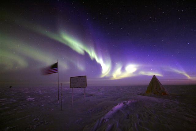
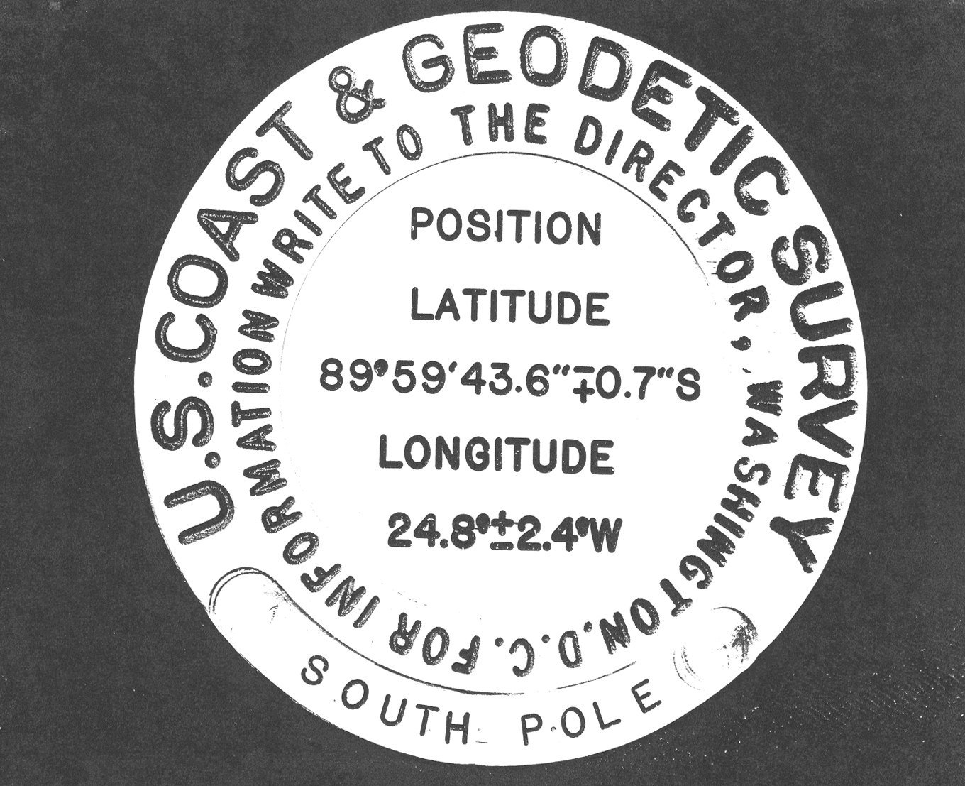
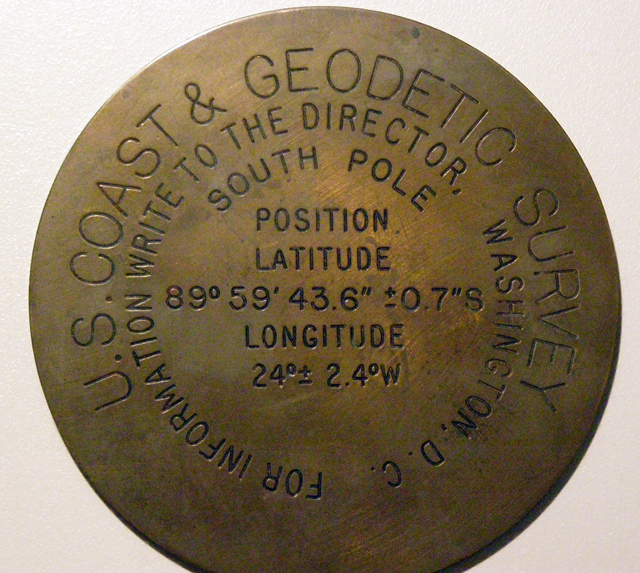
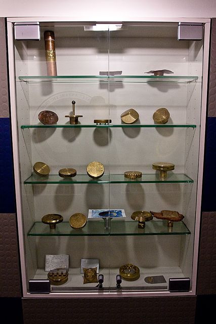
Marking the poleMany years passed before another geographic marker returned to South Pole. Finally, during the 1976-77 season, the USGS installed a marker at 90 degrees south to mark the nation’s bicentennial birthday. From then until 1991, the USGS operated a continuous Doppler satellite measurement and positioning system near the South Pole. The project accurately recorded the positions of low-orbiting Navy satellites. Based on known orbital parameters, USGS staff was able to use this information to determine very precisely the location of the Doppler antenna, according to Spindler. From there, the location of the Pole was surveyed conventionally from the antenna location. Or, more practically, determined by calculating the annual movement of the antenna and then translating this same measurement to the previous year’s Pole marker. In 1991, more accurate measurements began with observations on satellite signals of the Global Positioning System (GPS), according to the USGS document “A Summary of Geodetic Satellite Measurements at the South Pole and Relationship to the Annual Pole Marker Location.” Leaving a markThere was always some sort of marker where people thought the Pole was located, such as a flag or sign post, according to Spindler. During IGY, it was a ring of barrels, he said. “The first 1959 marker is unique, and as far as I know, there was not another fancy one like that until the USGS one that was set in November 1976. That was the only real USGS marker as far as I know,” he said. “And there weren’t any more until some point in the 80s [when] they started making the fancier markers (during the summer); it was a rather secretive activity that I was not privy to.” Andy Martinez, South Pole Operations manager, said there are currently 22 markers dating back to 1984 at the station, most locked up in a display case. The missing years include 1985, 1986, 1991, 1994 and 2003. The 2003 marker stand is in the display case with all of the winter-over signatures on it and a photo of the marker. “From the case, it appears that 1990 was the first year the creativity started,” Martinez said in an e-mail. “As for the USGS stamp, the first marker without the USGS stamped on it is 2004.” The NSF stamp replaced the USGS one, he added. The United States has had a continuous presence at the South Pole since 1956, when it constructed a research station there in less than two months for the IGY, a worldwide science campaign that focused on polar discoveries. The bottom of the world has always been a goal of explorers since the first men risked — and lost — their lives to reach it in the early 20th century. Norwegian Roald Amundsen was the first to claim the honor on Dec. 14, 1911. He was followed by Robert F. Scott’s expedition on Jan. 18, 1912. Of course, neither man had satellites to help him locate 90 degrees south. Instead, both used an astronomical method that involved observations of the sun, according to the USGS. “When at the geographic location for the South Pole, the sun is above the horizon six months of the year. Through a 24-hour period, the sun moves parallel to the horizon a complete rotation around the geographic pole. It gradually rises to its highest angle above the horizon on Dec. 21.
Observations to measure the angle of the top edge of the sun above the horizon were made with a sextant or similar instrument. When the angle or altitude above the horizon is equal, the observer is standing at the geographic location for the South Pole. The accuracy for this method is estimated to be about 300 meters (about 1000 feet).”
No matter how you find it or mark its location, there’s perhaps no more unique place on the planet than the South Pole.Back 1 2 |


For USAP Participants |
For The Public |
For Researchers and EducatorsContact UsU.S. National Science FoundationOffice of Polar Programs Geosciences Directorate 2415 Eisenhower Avenue, Suite W7100 Alexandria, VA 22314 Sign up for the NSF Office of Polar Programs newsletter and events. Feedback Form |


