|
Latest Articles
Balloon-borne telescopes take baby pictures of the cosmos
Groundwater could connect two of Earth's saltiest bodies of water
Ghost particles give scientists first look inside an active galaxy
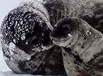
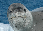
How juvenile Antarctic krill survive when it's cold, dark and icy
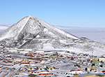
South Pole winter crew participate in virtual reality study
Hunt begins for Antarctica's oldest ice More Articles
Quick Find
|
||||||||||||||||||||||||||||
"News about the USAP, the Ice, and the People"

For USAP Participants |
For The Public |
For Researchers and EducatorsContact UsU.S. National Science FoundationOffice of Polar Programs Geosciences Directorate 2415 Eisenhower Avenue, Suite W7100 Alexandria, VA 22314 Sign up for the NSF Office of Polar Programs newsletter and events. Feedback Form |