ExpansionAntarctic sea ice headed for another record year for extent around the continentPosted October 10, 2014
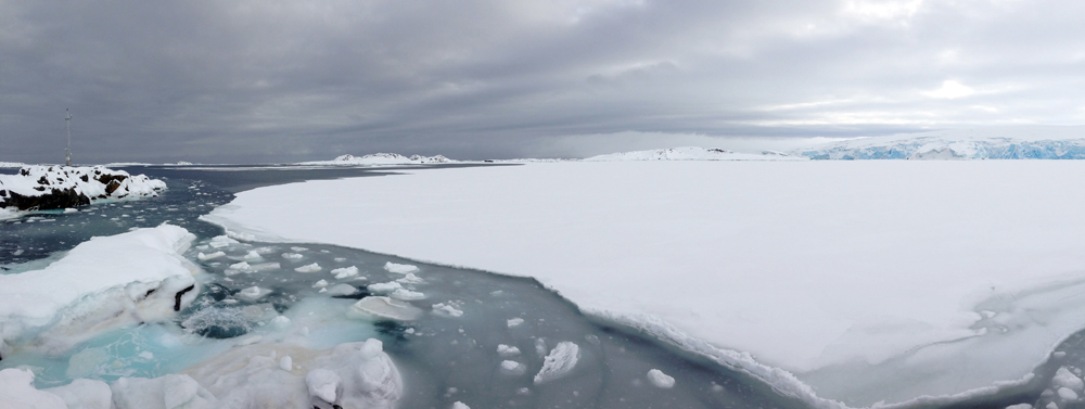
Sea ice around Antarctica appears headed for another record year. The National Snow and Ice Data Center (NSIDC), partly funded by the National Science Foundation (NSF), reported last month that the five-day average for sea ice extent around the southernmost continent had already surpassed 20 million square kilometers for the first time in the modern satellite record. On the flip side of the planet, the Arctic continued its long-term decline, when sea ice dropped to 5.02 million square kilometers on Sept. 17. This year’s minimum was 1.61 million square kilometers above the record minimum extent in the satellite era, which occurred on Sept. 16, 2012, and 1.20 million square kilometers below the 1981 to 2010 average minimum. [See related article — Spreading out: Antarctic sea ice nears record extent once again.] The polar regions are truly polar opposites with different dynamics at play. The Arctic is an ocean surrounded by land, while the Antarctic is land surrounded by an ocean. [For more about the differences between the Arctic and Antarctic see the NSIDC webpage: http://nsidc.org/cryosphere/seaice/characteristics/difference.html Many scientists believe that Antarctic sea ice extent will continue to grow in the short term. Factors like increasing fresh water from melt under ice shelves and higher wind speeds promote ice growth and expansion. Longer-term models, on the scale of decades, predict that sea ice in the Antarctic will start to decline as it is doing in the Arctic. Recently, in research partly supported by the NSF and published in the journal The Cryosphere, scientists suggested that some of the record expansion might simply be an error in the processing of the satellite data itself. NSIDC has also noted that the modern satellite record may not reflect the breadth of Antarctic sea ice variability, as far as the minimum and maximum extent in area. The discovery last year of older satellite images from the Nimbus satellite, an early generation of Earth-orbiting spacecraft from the 1960s, showed that the ice edge in September 1964 likely exceeded both 2012 and 2013 record monthly average maximums. Imagery from August 1966 suggested a new historic low extent that had originally been set in 1986. [See related article — Rolling back the clock: NSIDC scientists reconstruct sea ice extent around polar regions from 1960s satellite imagery.] |

For USAP Participants |
For The Public |
For Researchers and EducatorsContact UsU.S. National Science FoundationOffice of Polar Programs Geosciences Directorate 2415 Eisenhower Avenue, Suite W7100 Alexandria, VA 22314 Sign up for the NSF Office of Polar Programs newsletter and events. Feedback Form |